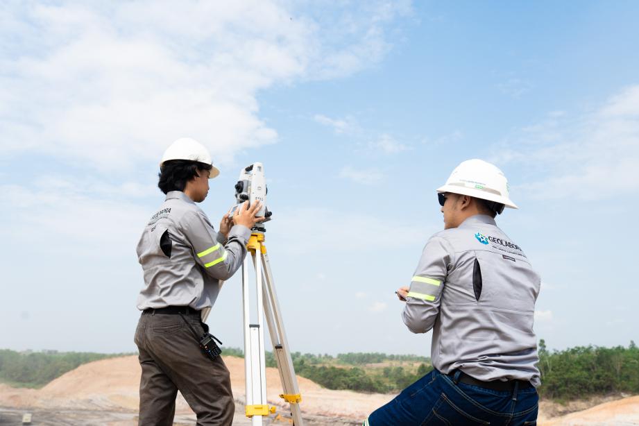
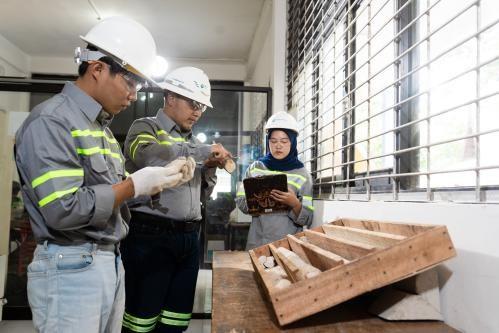
Mining Survey and Mapping
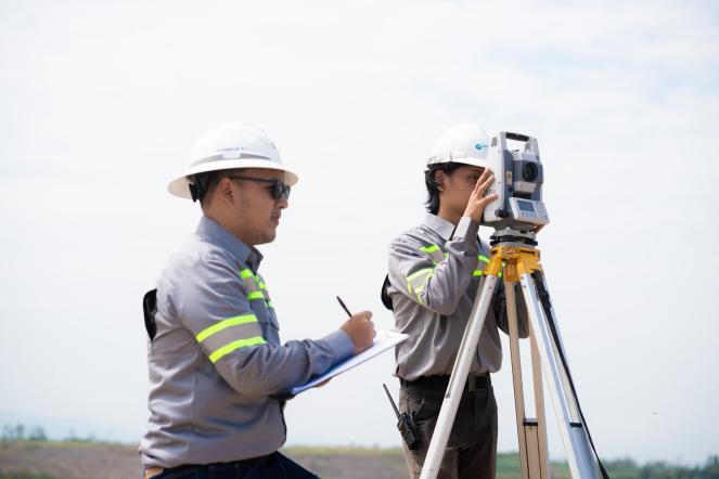
PT Geo Labora Indonesia provides comprehensive mining survey and mapping services to support planning, operations, and monitoring activities in mining projects. Leveraging advanced technologies and experienced professionals, these services ensure the availability of accurate, high-precision, and reliable spatial data that form the basis for technical and strategic decision making.
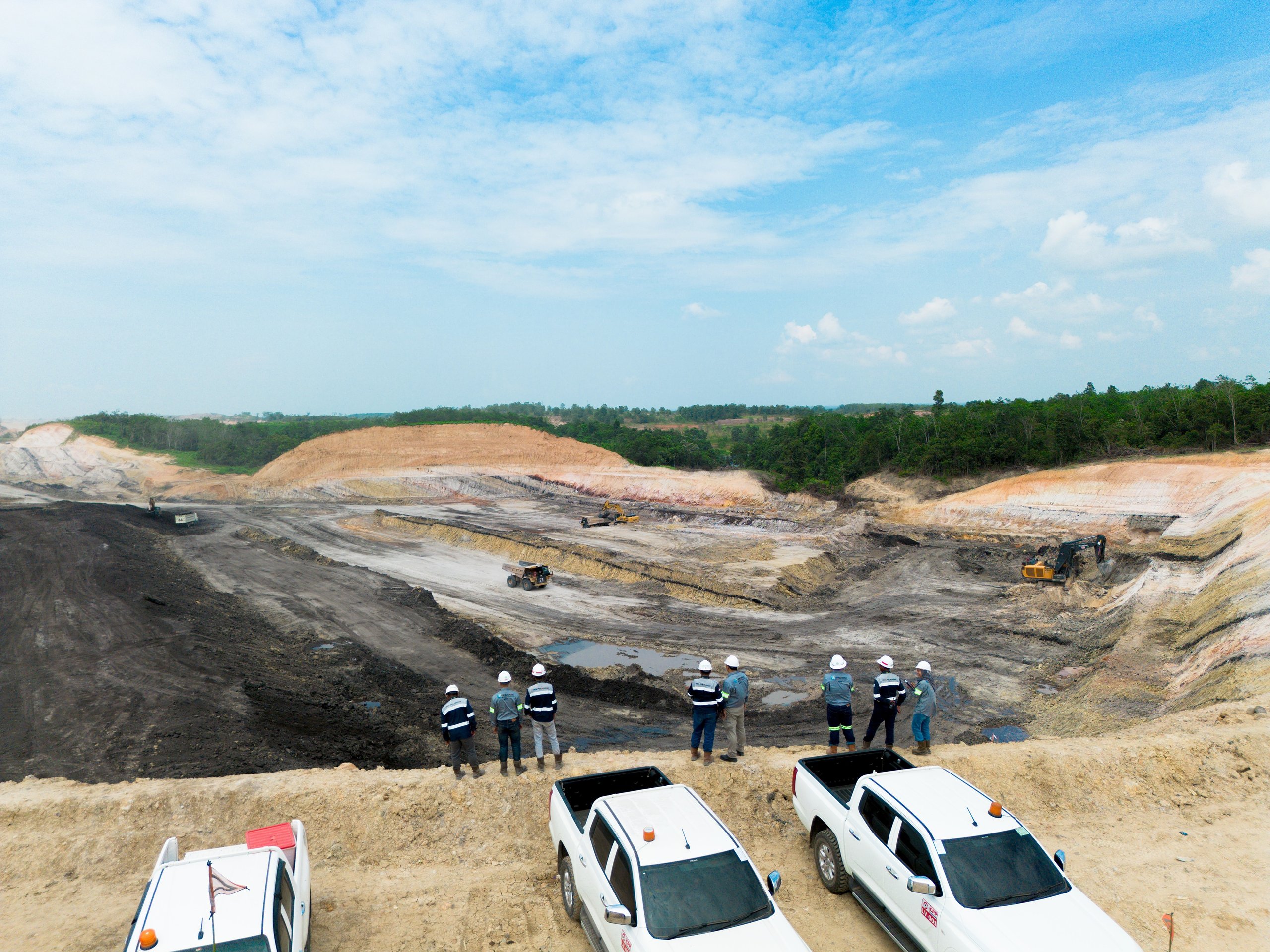
In mining operations, surveying and mapping play a key role in defining permit boundary limits, monitoring mining progress, evaluating changes in mine geometry, and managing safety and environmental aspects. PT Geo Labora Indonesia delivers integrated, efficient, and effective surveying solutions for a wide range of mining operations, particularly open-pit mines.
The services provided by PT Geo Labora Indonesia include the following:
1. Topographic Survey and Detailed Mapping
- Measurements using Total Station, GNSS RTK, and leveling instruments
- Development of contour maps, site maps, and surface modeling (DEM/DTM)
- Mapping of mining areas for pit design, infrastructure planning, and reclamation needs
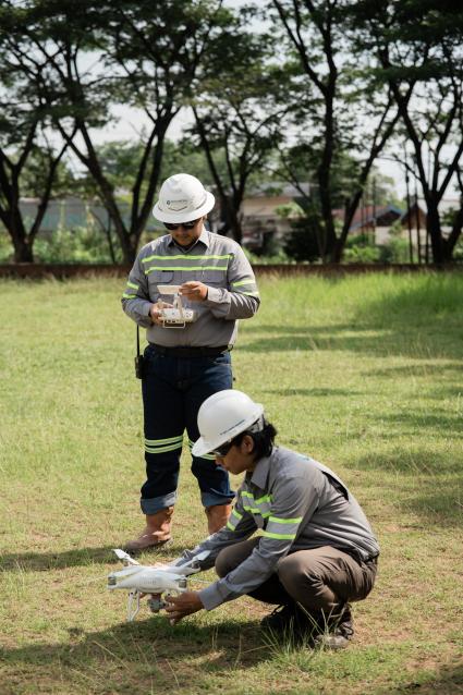
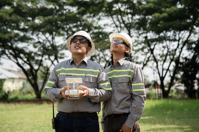
2. Aerial Drone Survey & Photogrammetry
- High-resolution aerial mapping using multirotor and fixed-wing drones
- Generation of orthophotos, 3D surface models, digital terrain models (DTM), and digital elevation models (DEM)
- Monitoring of mine changes (cut & fill), overburden volume, and mining progress
- Tree counting
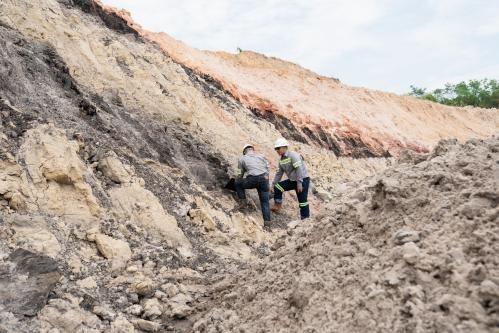
3. Overburden & Stockpile Volume Survey
- Measurement and calculation of overburden, interburden, and waste material volumes
- Estimation of stockpile volumes for coal, topsoil, and other materials
- Monthly or annual volume reconciliation
4. Boundary & Coordinate Determination for Mining Permits / Land
- Establishment of boundary coordinates for Mining Business Permit (IUP) areas
- Surveying of operational land boundaries, mining facilities, and reclamation zones
- Preparation of legal maps and technical reports in accordance with regulatory requirements
5. Terrestrial LiDAR & Mobile Mapping (Optional)
- High-detail measurements using laser-scanning technology
- Suitable for slope structure modeling, face mapping, and deformation monitoring
Our Other Services
Explore our most recent technical reports and scientific findings

Stay informed with our services